Chinese engineers make sci-fi drone mapping reality
Share - WeChat


A scene from the science fiction film Prometheus, where explorers deploy a mini-drone that laser-scans caves to generate 3D models instantly, has turned into reality, thanks to the efforts of Chinese engineers.
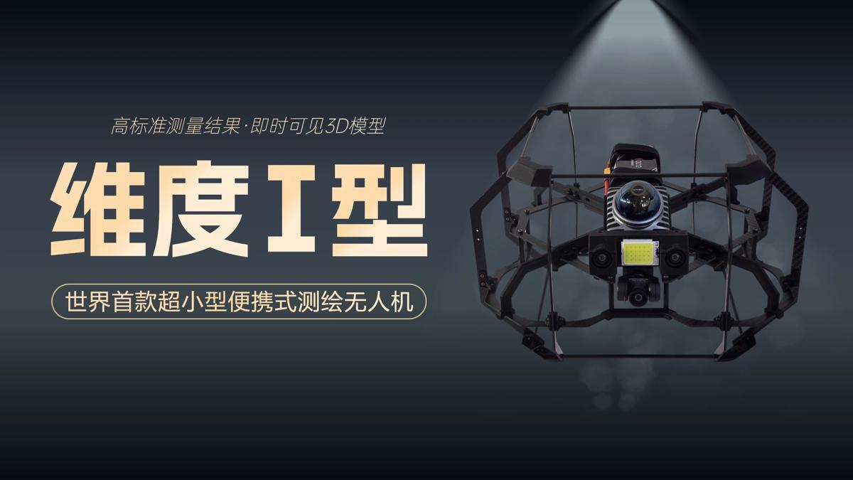
On Tuesday, the Spatiotemporal AI Perception Technology Innovation Center at the Tianfu Jiangxi Laboratory in Chengdu, Sichuan province, announced that it has launched Dimension 1, the world's first ultra-compact portable mapping drone. It is designed to perform asset digitization scanning tasks in indoor environments.
- First testing kit for Chikungunya fever granted market approval
- 1 killed, 3 injured in explosion in Nanjing
- A Linyi adventure: Where business meets fun
- Former CSRC senior official suspected of serious misconduct
- Party expels former Shanxi governor
- Taiwan submarine a waste of money, defense spokesman says


