Beidou helps Qinghai herdsmen digitally track livestock


Qinghai herdsmen have started to track their livestock through a unique service supported by China's homegrown Beidou Navigation Satellite System, Chinanews.com reported Tuesday.
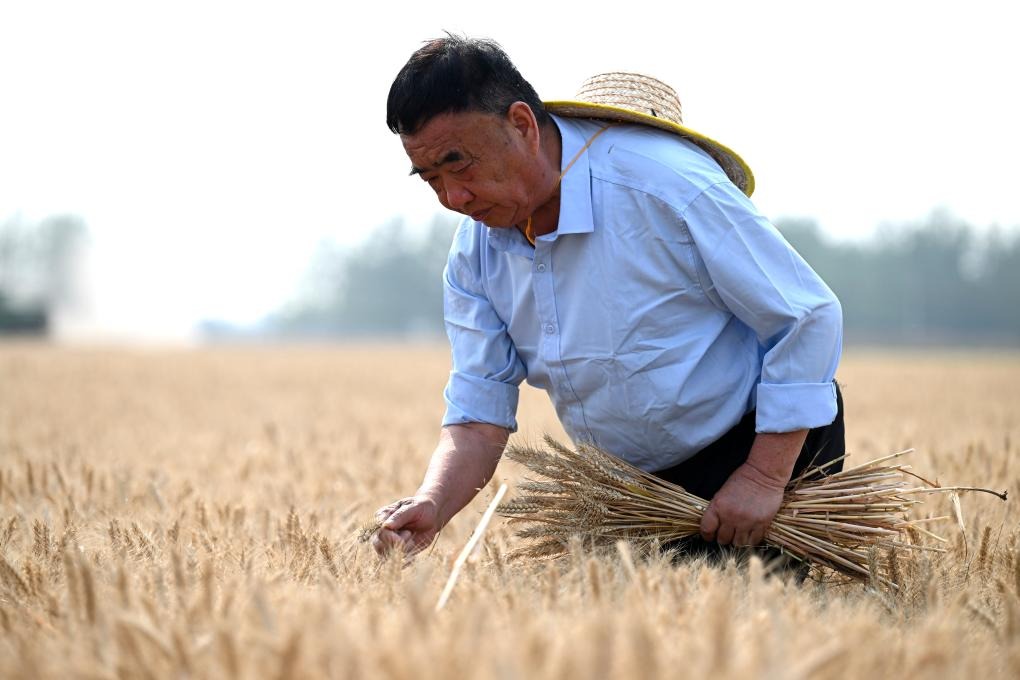
Qinghai plateau, covering an area of 36.47 million hectares of grasslands, is the country's fourth largest pastureland, inhabited by substantial numbers of cattle, sheep and yaks.
According to the report, with a handset device providing basic positioning and navigation services, the herdsmen can locate their livestock, monitor the grassland environment and prevent any potential animal diseases.
Besides, an automatic monitoring station and digital platform for collecting data on pastoral farming were also set up for assistance.
At present, Qinghai province has built 12 automatic data collection stations and conducting posts, establishing the basic communication network navigated by Beidou.
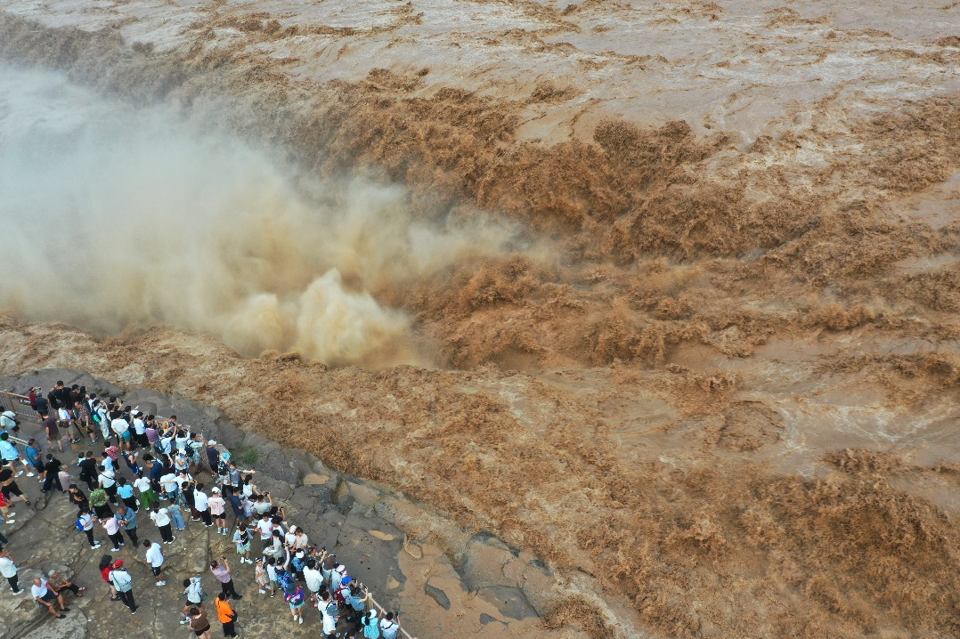


- People visit Hukou Waterfall on Yellow River in Jixian county, North China
- Grassroots soccer league resumes, showcasing resilience after flooding
- Capital unveils three-year plan to protect Central Axis heritage
- Heavy rains swell 16 rivers across nation
- Nation sits on gold mine of idle mobile phones
- 'Healthcare on wheels' brings vital services to remote mountain villages